

Providing A Reliable Foundation For Any Project
“WGM’s performance on the Kalispell ADA upgrade project has been outstanding.”
Since surveying and mapping lay the foundation for projects, accurate and reliable data are critical for success. Clients rely on WGM Group’s experience, technology, and attention to detail to provide cost-effective surveying for any size or type of project.
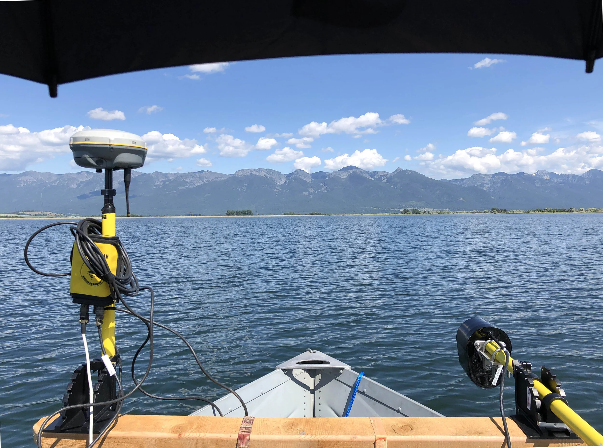
In addition to our standard GNSS-GPS equipment and associated processing software, we have a HydroLite-TM Sounding System for hydrographic surveying and a HyDrone for shallow water surveying. Using advanced terrestrial surveying instruments, we are able to eliminate errors and reduce fieldwork time.
WGM Group’s team of certified FAA Part 107 pilots employ drone technology to reduce project costs and risks while improving efficiency and quality. We offer volumes of high-definition data in real-time, providing quick turnaround to get projects permitted and progressing in less time. By routinely flying our projects, we are able to provide clients orthoimagery for improved quality of planning and design. Our skilled pilots obtain survey and mapping even in hazardous and rugged terrain. WGM Group’s teams are expertly trained in using LiDAR optical remote-sensing technology which greatly improves the efficiency of surveying large projects while reducing ground level risks.
Our Professional Land Surveyors use proven field techniques combined with the latest technology to ensure the accuracy of the data we gather for extensive mapping and boundary definitions. We provide the data for peace of mind on property lines, from commercial development to conservation easements and everything in between.
WGM Group also brings a reputation for being well-versed in land law and its application, serving as expert witnesses on cases involving boundary line disputes, right-of-way locations, easements, and ownership apportionment.
We Specialize In:
Certificates of Survey
Retracement & Boundary Surveys
Easement & Encumbrance Analysis
Wetland & Environmental Surveys
Building Layout & Location Surveys
GPS Static Networks & RTK Surveys
Waterway, Drainage & Irrigation Surveys
Right-of-Way Surveys
Topographic Surveys
ALTA Surveys
Aerial Mapping Control
Utility Surveys
Subdivision Plats
Easement Exhibits
Legal Descriptions
Construction Staking
Land Surveying Projects


Related Services
To learn more about how our team can help with your project, please contact us through the link below. Thank you for your interest in working with us.